
কনটেন্টটি শেষ হাল-নাগাদ করা হয়েছে: শুক্রবার, ৩০ জানুয়ারী, ২০২৬ এ ১১:০১ AM
RPMS
কন্টেন্ট: পাতা
Name of Projects: “Development of River Pollution Monitoring System (RPMS)” Research Project
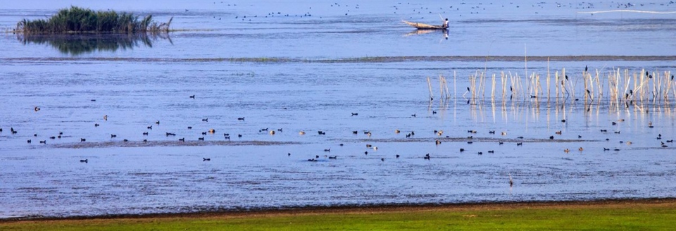
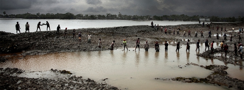
Rivers are the lifelines of Bangladesh, supporting its agriculture, biodiversity, and millions of livelihoods. However, rapid urbanization, industrial growth, and unplanned waste management have led to severe pollution in many rivers, particularly those near urban centers like Dhaka City. The Buriganga, Sitalkhhya, Balu, and Turag rivers, along with others across different divisions, are under critical threat from untreated industrial discharge, household waste, and agricultural runoff.
Despite the urgency of the issue, a structured, real-time monitoring mechanism is largely absent. Current monitoring efforts are sporadic and often fail to provide actionable insights. This proposal aims to develop a holistic river pollution monitoring system combining crowd-sourced data collection, advanced laboratory analyses, and GIS-based visualization to ensure comprehensive monitoring and data-driven decision-making.
The primary aim of this research is to establish an effective monitoring system by developing a publicly interactive portal to store and analyze river water quality data towards a data driven decision making approach to minimize and control river pollution in the rivers of Bangladesh.
The main objective is to develop a River Water Pollution Monitoring System (RPMS) for monitoring pollution levels which can effectively increase public awareness and sensitize the relevant government administrations to reduce pollution-related activities from pollution generating sources.
The specific objectives are:
- Assess the pollution levels in selected rivers using both qualitative and quantitative approach.
- Conduct laboratory and in-situ testing to analyze water samples for critical water quality parameters.
- Design and develop a mobile application to collect crowd-sourced pollution data.
- Develop an interactive GIS-based web application for visualization and analysis of pollution data.
- Provide a robust database and analytical framework to support taking informed decision by policy makers and regulatory authorities.
The study will primarily focus on specific rivers in Bangladesh, ensuring geographical diversity by including rivers from all the divisions of Bangladesh. A total of 11 (eleven) nos. of rivers are selected (Table 1-1), including 4 (four) rivers from Dhaka, and 1 (one) river from each of the seven remaining divisions, based on pollution risk and geographical representativeness.
Table 1‑1:Rivers around Dhaka City and in other seven Divisions
| Sl No. | Division | River Name | Off take | Outfall | Length (Km) |
| 1 | Dhaka | Buriganga River | Turag River | Dhaleshwari River | 29.00 |
| 2 | Turag River | Bangshi River | Buriganga River | 61.00 | |
| 3 | Balu River | Suti River | Sitalakhya River | 44.46 | |
| 4 | Shitalakshya River | Old Brahmaputra River | Dhaleswari River | 107.62 | |
| 5 | Mymensingh | Lower Banar River | Old Brahmaputra River | Sitalakhya River | 45.16 |
| 6 | Rajshahi | Korotoya River | Deonai-Charalkata-Jamuneshwari River | Bangali River | 121.76 |
| 7 | Rangpur | Dharala River | India | Brahmaputra-Jamuna River | 55.44 |
| 8 | Chattogram | Halda River | Hilly Area | Karnafuli River | 105.55 |
| 9 | Khulna | Bhairab River | Ichamati-Kalindi River | Rupsa (Khulna) River | 242.45 |
| 10 | Barishal | Kirtonkhola River | Arial Khan River | Sugandha River | 21.33 |
| 11 | Sylhet | Khowai River | India | Kushiyara River | 91.47 |
Source: Nod-Nadi in Bangladesh, 2011, BWDB
Figure 1‑1: Location of 4 (four) rivers around Dhaka City Area
Figure 1‑2: Location of 7 (Seven) Rivers in Seven Divisions
5. Expected Output
The output of the research will cover the following:
- A functional and scalable web-GIS system for monitoring river pollution.
- Qualitative crowd-source pollution data in river monitoring database.
- Laboratory and in-situ testing results of collected water quality samples in the database
- Calculated Water Quality Index (WQI) with respect to seasonal variation
- Actionable insights for policymakers to address and control pollution sources.
- Technical Reference Manual of RPMS System
The overall duration of the Research work will be 15 (fifteen) months.
7. Present Progress
Contract of Agreement (CoA) has been signed between WARPO and IWM on 21 May, 2025. The project is scheduled to run for 15 months following the signing of the contract. Meanwhile, 13 members Technical Committee, and 4 members Research Team have been formed to ensure the effective operation of the research project. Additionally, the Inception Report of the research project has been submitted by IWM to WARPO in June, 2025. The national workshop on Inception report will be held soon.